Pendle Hill Public Domain Plan

Pendle Hill shops

February 2024 update

The Pendle Hill Public Domain Plan has been adopted by Council.


June 2023 update

Consultation on the Pendle Hill Public Domain Plan has closed and submissions have being reviewed. Thank you to everyone who submitted feedback.


May 2023 consultation:

Council invited you to have your say on planning for the future of Pendle Hill Local Centre.

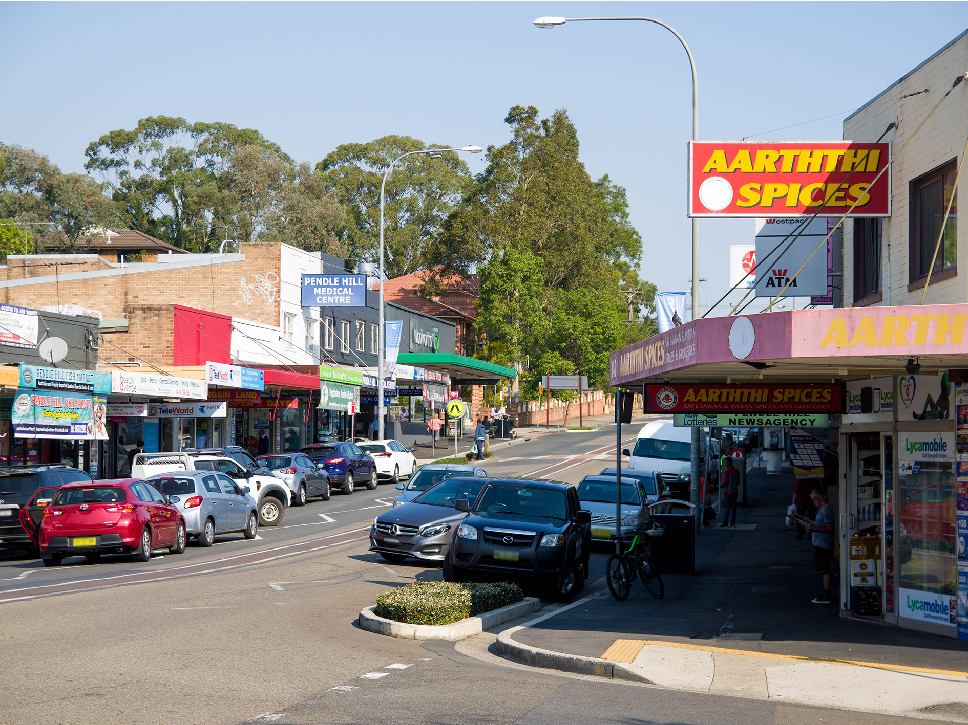
The Pendle Hill Public Domain Plan has been prepared by Cumberland City Council to guide the delivery of consistently high-quality public realm to promote the revitalisation of Pendle Hill Local Centre.

The Pendle Hill has been identified in the Cumberland 2030: Our Local Strategic Planning Statement as a Principal Local Centre that provides land use opportunities for housing and jobs, as well as services and facilities to meet the needs of the broader community.

We are seeking your feedback to understand the key priorities, aspirations and values of the local community. 


We thank you for your feedback!

Council values the opinions and suggestions of the community, and would appreciate your input on the upcoming Pendle Hill Public Domain Plan.

We encourage you to view the Pendle Hill Public Domain Plan for review from our document library..

Vision and Design Principles

Vision

Pendle Hill is a vibrant Local Centre that will build on the local character to create an attractive, walkable, and socially inclusive open space network with high quality public realm at its centre. 

Design Principles

Celebration of Place: Celebrate the history of Pendle Hill and create active and vibrant streetscapes.

Well Connected: Promote healthy living with good walking and cycling permeability. 

Clean and Green: Create continuous green tree cover in the centre, improve walkability, and maintain...

View the Pendle Hill Public Domain Plan

Pendle Hill Precincts

Pendle Hill Local Centre Precincts

There are three identified precincts within Pendle Hill Local Centre, each with a distinctive character. The following section outlines the character, public domain attributes and public domain elements for each precinct.

Civic Park Precinct

Civic Park Precinct is centred on Civic Park, the largest park within the Local Centre and is located on the western side of the Local Centre. This Precinct is bound by Targo Road to the west, Mia Mia Street to the north, Pendle Hill Creek and Council carpark to the east, and on the southern side of the park, the back fences of residential housing.

Pendle Way Precinct

Pendle Way Precinct is centred on Pendle Way, a vibrant street supporting retail and business. Other streets within this precinct include Civic Avenue, Billabong Street, Bentley Lane, Joyce Street, Purdie Lane, the western end of Stapleton Street and the northern side of Dunmore Street.

Stapleton Street Precinct

Stapleton Street Precinct located on the eastern side of the local centre is primarily high-density residential housing. This Precinct includes Goodall Street to the west, the eastern end of Stapleton Street, Jones Street to the east and Dunmore Street to the south. The railway line is located on the northern boundary of this Precinct.

Pendle Hill Local Centre Precincts
 

Any questions?

If you have any questions about this work or the consultation materials, please feel free to reach out:

Frances Hamilton
Senior Landscape Architect
P: (02) 8757 9928 
E: Frances.Hamilton@cumberland.nsw.gov.au

Join the conversation and have your say!